Dictionary of Ichthyology
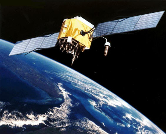
global positioning system = a hand-held electronic system that uses satellite signals to give exact locations on the earth's surface as latitude and longitude.
Variously used for locating fisheries, favourite angling spots and scientific sampling locations. Takes all the fun out of getting lost with maps. Abbreviated as GPS.
A GPS satellite from
Wikimedia Commons:
http://commons.wikimedia.org/wiki/File:GPS_Satellite_NASA_art-iif.jpg